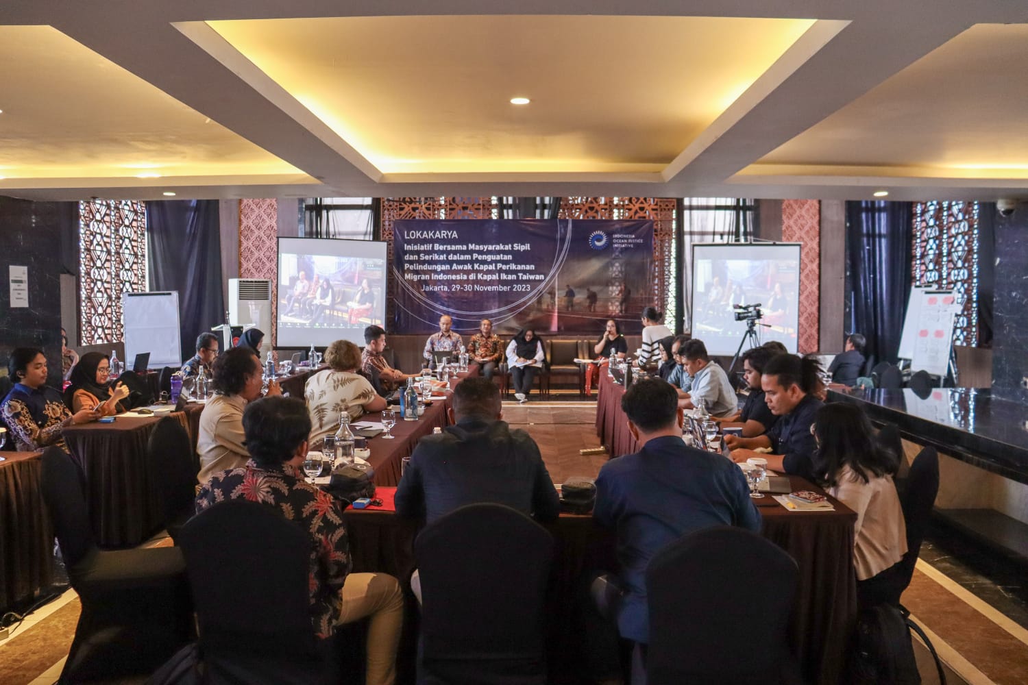
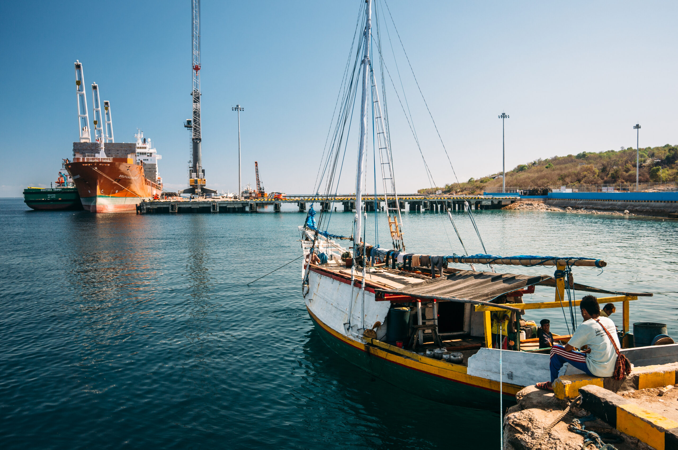
As part of the Maritime Security and Access to Justice Program, since 2021 IOJI has routinely (quarterly) carried out legal detection and analysis regarding maritime security threats that occur in territorial waters (territorial seas, archipelagic waters and inland waters) and jurisdictional areas (Zones Exclusive Economy/EEZ, Continental Shelf and Additional Zone) Indonesia.
Apart from being presented to various law enforcement agencies, this study was also published to journalists, the media and the general public.
In order to support its detection activities, IOJI uses various technology and information access tools, while collaborating with several international data and information providers, such as Lloyd’s List Intelligence (LLI), Marine Traffic, Unseenlabs, and SkyTruth. This technological device provides access to ship identity data, ship movements via Automatic Identification Systems (AIS), radar and optical satellite images from Sentinel, as well as navigation radio frequency data on ships to track ships whose transmissions via AIS are not detected. By using various data and information collected from various sources, IOJI conducted a chronological analysis and legal analysis regarding maritime security threats and violations that occurred in Indonesia’s territorial waters and jurisdiction.


2 thoughts on “Maritime Security Threat Detection Reports and Alleged Illegal, Unreported, and Unregulated (IUU) Fishing Activities”
I’m really inspired along with your writing skills as well as with the structure in your blog. Is that this a paid subject or did you modify it yourself? Either way keep up the excellent high quality writing, it’s uncommon to look a great weblog like this one today!
іɗ=”firstHeading” class=”firstHeading mw-first-heading”>Search
rеsults
Heⅼp
English
Tools
Tools
mߋѵe to sidebar hide
Actions
Ꮐeneral
Also visit my web blog … lux555 เครดิตฟรี